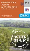
Basingstoke, Alton e Whitchurch - Basingstoke, Alton and Whitchurch
OS Explorer è la mappa più dettagliata dell'Ordnance Survey ed è consigliata a tutti...
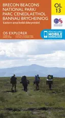
Parco nazionale di Brecon Beacons / Parc Cenedlaethol Bannau Brycheiniog - Area orientale / Ardal...
OS Explorer è la mappa più dettagliata...
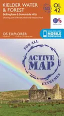
Acqua e foresta di Kielder, colline di Bellingham e Simonside - Kielder Water & Forest, Bellingham &...
OS Explorer è la mappa più dettagliata...
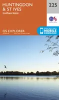
Huntingdon e St.Ives, Grafham Water - Huntingdon and St.Ives, Grafham Water
La mappa essenziale per le attività all'aperto a Huntingdon, St Ives e...
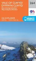
Vale of Clwyd, Rhyl, Denbigh e Ruthin - Vale of Clwyd, Rhyl, Denbigh and Ruthin
La mappa essenziale per le attività all'aperto nella Vale of Clwyd,...
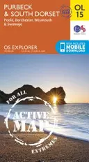
Purbeck e Dorset meridionale, Poole, Dorchester, Weymouth e Swanage - Purbeck & South Dorset, Poole,...
OS Explorer è la mappa più dettagliata...
St.Austell, Liskeard, Fowey, Looe e Lostwithiel - St.Austell,Liskeard, Fowey, Looe and...
OS Explorer è la mappa più dettagliata dell'Ordnance...
Nuneaton e Tamworth - Nuneaton and Tamworth
OS Explorer è la mappa più dettagliata dell'Ordnance Survey ed è consigliata a tutti coloro che praticano attività all'aperto...
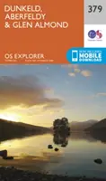
Dunkeld, Aberfeldy e Glen Almond - Dunkeld, Aberfeldy and Glen Almond
La mappa essenziale per le attività all'aperto a Dunkeld, Aberfeldy e Glen Almond. La...